Online Mapping and Planning Property Search
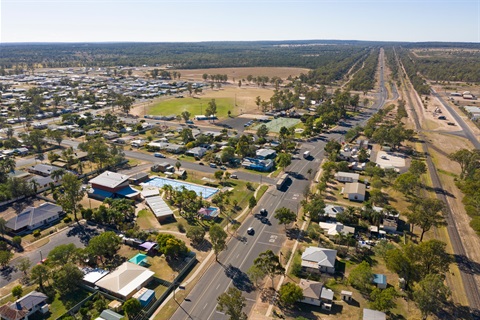
Council's online mapping tool allows you to manually search for properties within the Western Downs Region in order to access information, including aerial mapping, property zoning and planning overlays such as flooding that may impact on your property.
If you do not know the exact address or the Lot and Plan of the property, you can find the property and relevant information by using Council's Online Mapping Tool which can be accessed via the link below:
Council's Online Mapping Tool
If you have an address or a Lot and Plan for the property of interest, you can undertake a Planning Property Search which will quickly identify the zoning of the property and the relevant planning overlays that impact on the property. Once you have completed the Planning Property Search, you are able to either convert the search into a PDF file or send it to yourself in an email.
The Planning Property Search can be accessed below:
Planning Property Search Tool
Council will continue to provide updates to its online mapping system tool to ensure that information becomes increasingly accessible to the public to enable informed decisions on the purchasing or leasing of property, and to assist in determining the requirements and approval pathways for further development on land.
If you have any questions regarding the information displayed for a property on Council's online mapping or from a planning property search, please contact Council's Planning Department via telephone (07) 4679 4000 or email info@wdrc.qld.gov.au and a Planning Officer will be able to assist you.